Looking to reconnect with nature or challenge your limits in the wild? The Cheriyre Outdoor Adventure Guide for 2025 brings together the region’s most exhilarating hiking and biking experiences. Whether you’re a weekend explorer or a seasoned trail runner, Cheriyre offers an impressive mix of landscapes—lush forests, rocky outcrops, riverside trails, and panoramic hilltops—designed to inspire and invigorate.

Discover Cheriyre: A Haven for Outdoor Enthusiasts
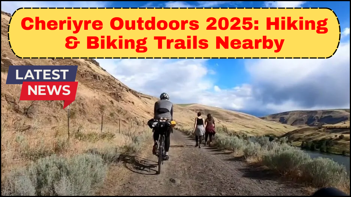
Tucked between scenic ridgelines and unspoiled greenery, Cheriyre has rapidly emerged as a top destination for outdoor adventure in 2025. With growing interest in sustainable travel and active lifestyles, the region has responded by upgrading its nature trails, improving signage, and expanding trail networks to accommodate hikers and bikers of all skill levels.
The Cheriyre Outdoor Adventure Guide aims to help you navigate this dynamic terrain with confidence, whether you’re planning a quick afternoon ride or a multi-day hiking expedition.
Top Hiking Trails to Explore
Cheriyre’s hiking options range from easy family walks to rugged climbs that demand stamina and reward you with unmatched views.
1. Stonecap Loop Trail
Difficulty: Moderate
Distance: 7.3 miles
Highlights: Waterfalls, dense canopy, birdwatching
Stonecap Loop is a local favorite, offering a balanced mix of forest serenity and light elevation gains. Hikers often encounter deer, red-tailed hawks, and colorful songbirds along the way. The trail is well-maintained and accessible year-round, with wooden bridges and resting benches installed in 2024.
2. Raven’s Summit Ascent
Difficulty: Hard
Distance: 5.8 miles round trip
Highlights: 360-degree summit views, rocky ridgelines
This challenging trek is for serious hikers looking to elevate their game. The Raven’s Summit trail gains over 2,000 feet in elevation, winding through ancient hardwoods before opening up to breathtaking summit views. It’s best tackled in the cooler months for optimal visibility.
3. Willow Creek Pathway
Difficulty: Easy
Distance: 2.1 miles
Highlights: Accessible trail, picnic areas, riverside views
Ideal for beginners or those hiking with children, Willow Creek’s flat, shaded path follows a scenic stream and connects to the nature interpretive center. It’s a peaceful introduction to the region’s biodiversity.
Biking Trails for Every Rider
Whether you prefer a smooth forest ride or technical singletrack, Cheriyre’s biking trails are crafted to keep you engaged and challenged.
1. Ironroot Ridge Circuit
Difficulty: Intermediate
Distance: 9.6 miles
Highlights: Switchbacks, pine groves, scenic overlooks
This trail delivers a thrilling ride through tight corners and flowing forest sections. Popular among mountain bikers, it’s also frequently used for local races and group rides. Well-drained and fast after light rains, Ironroot Ridge is a great choice for spring and fall outings.
2. Creekside Flow Trail
Difficulty: Beginner-friendly
Distance: 4.4 miles
Highlights: Gentle elevation, wide lanes, rest points
Perfect for casual riders or families, Creekside Flow offers a smooth ride along a shallow riverbank. The trail was resurfaced in late 2024, making it safe for hybrid and gravel bikes.
3. Boulder Pass Challenge
Difficulty: Advanced
Distance: 11.2 miles
Highlights: Rock gardens, technical descents, adrenaline-packed climbs
Not for the faint of heart, Boulder Pass demands high technical skill and strong legs. This black-diamond loop rewards riders with intense climbs, tight turns, and scenic highland meadows. Make sure your gear is tuned and your helmet strapped—this trail means business.
Trail Amenities & Safety Tips
Cheriyre’s outdoor infrastructure continues to evolve. You’ll find updated trailheads with GPS maps, clean restrooms, water refill stations, and ranger outposts. Cell service is patchy in higher elevations, so it’s wise to carry a physical map and let someone know your itinerary.
Tips:
-
Always check weather conditions before heading out.
-
Wear appropriate gear for the season.
-
Respect wildlife and follow Leave No Trace principles.
-
Trail conditions are updated weekly via the Cheriyre Park Authority’s mobile app.
Best Time to Visit
Late spring through early fall is peak season for hiking and biking in Cheriyre. In April and May, wildflowers bloom along the valley trails, while summer offers dry paths and longer daylight hours. Autumn paints the forest in warm golds and reds—ideal for photographers and foliage hunters.
FAQs
Q1: Are dogs allowed on the trails in Cheriyre?
Yes, most trails are pet-friendly. However, dogs must be leashed, and owners should clean up after them.
Q2: Is there a fee for trail access?
Many trails are free to use, though a few may require a modest day-use pass or parking permit. These help fund maintenance and conservation efforts.
Q3: Can I rent bikes locally?
Absolutely. Several outfitters in downtown Cheriyre offer daily and weekly bike rentals, including mountain, gravel, and e-bikes.
Q4: Are group hikes or guided tours available?
Yes. The Cheriyre Outdoor Adventure Guide includes listings of certified local guides and scheduled group events, including full-moon hikes and wildlife spotting tours.
Q5: What should I bring for a day hike?
Essentials include water, snacks, a trail map, a basic first-aid kit, sun protection, and sturdy footwear.
click here to learn more